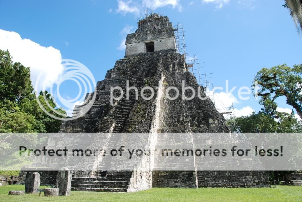
After the cascading pools of Semuc Champey, the plan was to ride north to Tikal. Tikal is one of the largest archaeological sites and urban centers of the Mayan civilization and in 1979 was declared a UNESCO World Heritage Site.
With some wrong turns and losing about 2 hours by following my GPS and not Ang (she had indicated that we should have turned left), we followed a so called dirt highway till we were stopped by a construction crew and learned that we got turned around and were now heading south instead of north. Ang is the lead rider now. We only managed to make it to Isla de Flores on Lago Peten for the night and then on to Tikal the next day. We knew our friends Naomi and Alberto - Taking the Road South had arrived the previous night and were planning to camp, so we decided to join them as we haven’t camped since Baja.
As you enter the park of Tikal, a guard hands you a slip with the time you enter and reiterates the speed limit of 45 km/hr in the park. 17km down the road as you get to the Hotels, parking and camp spots, a 2nd guard collects the slip and checks the time you arrive. We deliberately rode really slow as we heard they can actually fine individuals for speeding and took a hard look at the wildlife that we could possible see in the park. We arrived at the camping area at 9:30am and decided not to set up our tent, but just lock our gear to our bikes, change into shorts and hiking shoes and head to see the ruins.


At a steep 150Q or US $18.75 per person for the entrance fee, we pay and make the 25 min. trek to the Grand Plaza and stumble upon our friends. There is a bond between bikers that I can’t explain and in particular with Naomi and Alberto, we have gelled and get along really well with them and it is as if we have been friends for years; even though we have only met them twice so far.
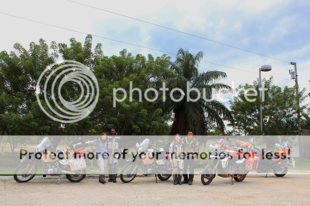 |
| The Gang - photo by Alberto |
Tikal is the best understood of any of the large lowland Maya cities, with a long dynastic ruler list, the discovery of the tombs of many of the rulers on this list and the investigation of their monuments, temples and palaces. The city itself covers an area greater than 16 square kilometers (6.2 sq mi) that includes 3000 structures. We climbed up Temple IV and Temple V that offered up some spectacular views of the surrounding jungle.
 |
| Temple IV |
 |
| View from Temple V |
 |
| Part of the Grand Plaza |
All Guatemala photos added to the album.


AMAZING GROUP SHOT!
ReplyDelete